 Andrew King (left) and Spence Henderson (right) demonstrate some GIS technologies outside the Facilities Administrationg Building.When UAB officially cut the ribbon on the Altec/Styslinger Genomic Medicine and Data Sciences Building on Oct. 23, it was the seventh new or renovated facility to open on campus within a span of five months.
Each building represents years of work by professionals in UAB Facilities and by building occupants and outside contractors. For two people in particular, however, the job begins after the moving trucks and construction crews have gone.
Spence Henderson and Andrew King, Geographic Information Systems project managers with UAB Facilities, help ensure UAB’s campus is accurately reflected on the university’s official map, the Facilities GIS System, and public platforms like Google and Apple Maps. They also work with Heather Godwin, programmer analyst I in the Office of Marketing and Communications, to update the UAB Campus Map online.
“Maps are a great way to communicate information, especially when it comes to showing how our campus changes over time with construction and new projects,” Henderson said. “Sometimes a map says more than a thousand words.”
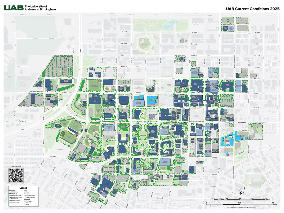 UAB Current Conditions map for 2025. Download the original map in PDF format on Box here (opens in new window).
Map it
Henderson and King work next to the individual project managers and directors over each job site in the Facilities Administration Building. “We get the most up-to-date knowledge of where the projects stand and when they need to be shown on our maps,” Henderson said. They use that information to regularly update the UAB Construction Zones map.
GIS mapping has a range of uses, notes UAB campus planner Chelsea McGimpsey. “GIS improves wayfinding, helps campus planners visualize existing and future conditions, assists construction planners and managers in the siting of new buildings, and improves maintenance efficiency for a number of campuswide systems, including utilities, irrigation and pedestrian networks,” McGimpsey said. “GIS improves the efficiency of UAB’s campus operations, which directly supports UAB’s strategic plan, Forging Ahead, and the Campus Master Plan.”
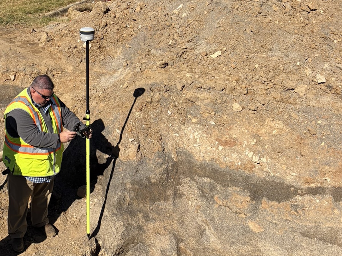
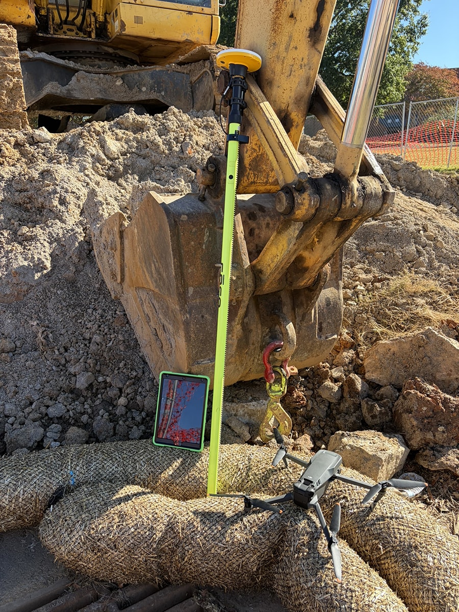
The campus map is just one of many ongoing projects for Henderson and King. Their work involves plenty of time using the industry-standard mapping software ArcGIS (available to all Blazers). But they also spend time in the field, where they may use high-accuracy GPS units to locate critical infrastructure within inches. “Your phone’s GPS is not going to get you anything better than 15 to 20 feet,” King said. “Our high-accuracy GNSS receiver units can get down to about 3 feet, and we have one unit that is accurate within a half-inch under optimal conditions.”
 The goal of the GIS duo is “to map as much as possible” around campus, King said. They have trained campus grounds teams in Facilities to map irrigation lines, sprinkler heads, shutoff valves and more so that they can be found quickly when they need to be serviced — with a minimum of digging. “Most of our irrigation systems on campus are covered under mulch or are buried,” King said. “Having detailed, accurate maps allows them to share knowledge of the system and make repairs efficiently.”
ArcGIS software can also include many other data points beyond simple coordinates. When UAB’s Title IX office wanted to map lactation rooms across campus, they worked with Henderson and King on an online Lactation Spaces Finder map that includes details on room numbers and badge access requirements, photos of the spaces, and points of contact.
Henderson and King are also working with faculty member Michelle Wooten, Ph.D., assistant professor of astronomy in the Department of Physics, to map lights around UAB’s footprint for her Campus SHINE lab.
“We have worked with numerous university partners,” Henderson said. “We provide the tools and know-how about GIS and mapping, and we let them run with it. Then we listen to feedback to make sure it is working for them and is useful. We try to help everyone come up with better ways to record data, document what is available on our campus and create maps.” (Learn more about Facilities GIS training and support here.)
King and Henderson have also been digitizing historical maps, construction documents and utility drawings to give Facilities and its university partners even better visibility into the locations of steam lines and other utilities.
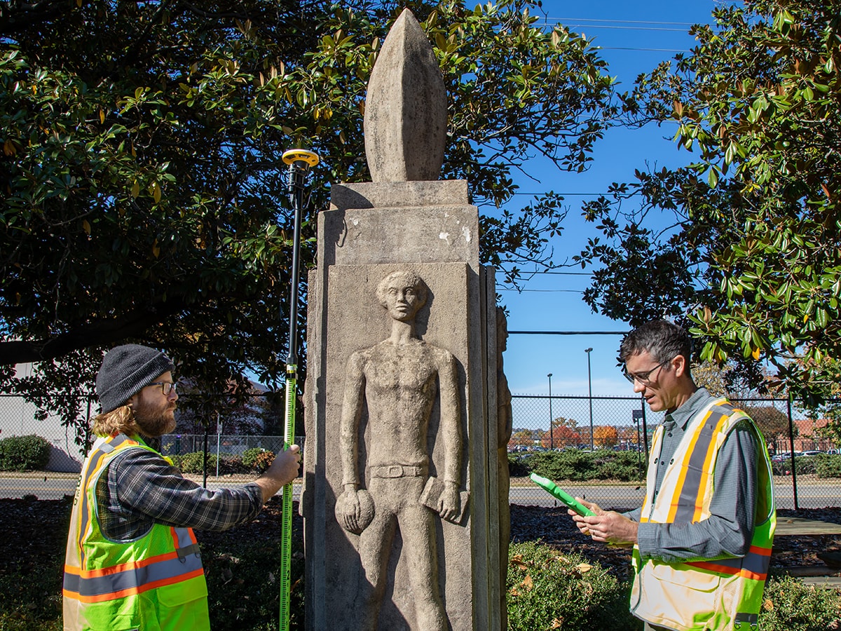
 And, as a side project, King has been mapping a wide range of campus landmarks, including the university’s outdoor sculptures, notable trees, picnic areas, hammock stands and more.
“Generally, we are just trying to make it easier to access geographic data for campus,” Henderson said. Facilities has implemented Single Sign On to give UAB employees access to maps and data that are not currently available outside the department.
Getting into GIS
King, who graduated from the University of Alabama with a degree in urban planning, decided to specialize in GIS after Google Earth debuted while he was in school. “It was one of the coolest things I had ever seen,” he said. “I immediately thought, ‘How can I get involved in this?’”
Henderson graduated from the University of Denver with a degree in geography. “I’ve always been interested in maps and data, and GIS is a combination of those two,” he said. “GIS really hasn’t been around too long; it has come a long way since Andrew and I started our careers. But more people are realizing all it can do and what you can map out there in the world.”
They recommend that anyone interested in learning more about GIS planning should attend the university’s GIS Day celebration on Tuesday, Nov. 18.